 TEAM
is a global network of field sites in tropical forests, where
climate and biodiversity data have been collected for almost a decade,
to monitor long-term trends in tropical ecosystems. Data
is being uploaded immediately after being collected in the field, and is
thus a basis for an ‘early warning system’ on the status of biodiversity
to effectively guide policy and conservation action. Standardized
protocols, designed and fine-tuned over time by a group of scientists
and collaborators, allow for comparison between all sites.
TEAM
was initiated by Conservation International (CI) and is financially
supported by the Moore Foundation. In 2009, the
Wildlife
Conservation Society (WCS) went into partnership with CI
to add several sites to the network, with historical links to WCS.
ITFC is proud to have been asked to lead activities for Bwindi
Impenetrable National Park (BINP) and to join the
list of illustrious research organizations and protected areas
that are already part of TEAM Network.
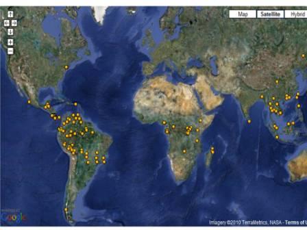
Location of TEAM field sites and partners.
We
implement the TEAM program in BINP in close collaboration with the
Uganda
Wildlife Authority (UWA), managers of the park. Together,
we collect data on climate, terrestrial vertebrates and vegetation.
An automated climate station was set up near the institute to
collect daily weather data (rainfall, temperature, relative humidity
and solar radiation).
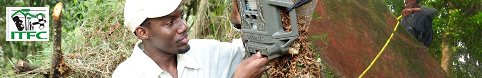
30
camera traps are set up in the forest for 30 days in the low and
high altitude zone (in the dry season; May and July respectively).
After retrieval form the field, the wildlife in the images is
identified, the images systematically archived and sent to TEAM for
uploading onto their website.
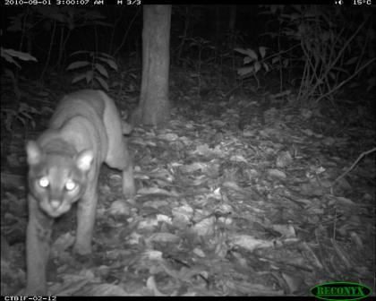
Golden cat
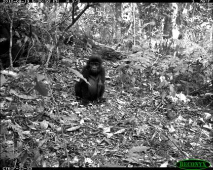
Young Mountain gorilla
 Refer
to our
blogging site for more of these first, exciting pictures from
the camera traps.
Refer
to our
blogging site for more of these first, exciting pictures from
the camera traps.
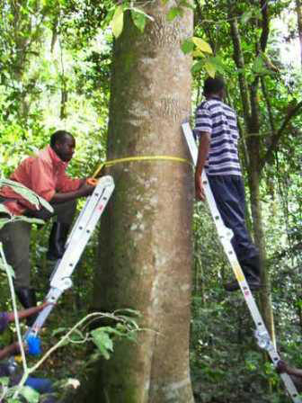
Six
1-hectare permanent sample plots were established for vegetation
monitoring, two in each of the lower, middle and higher altitude
zone of BINP. In each plot, all trees, tree ferns and lianas with a
diameter-at-breast-height of at least 10 cm are mapped, measured and
identified. The vegetation plots are measured each year
between December and February (dry season).
The
data set of any TEAM site may be publicly accessed from
www.teamnetwork.org after signing the terms and conditions of a
Data use agreement. ITFC, however, has every intention to publicise
the results of our TEAM activities first!